
For hundreds of years there has been this mystique about coastal navigation. Yet in reality the process is quite simple. Coastal navigation is simply about knowing where you are, know where you are going to and knowing how to get there. We can show you how to learn to do this in just a few hours.
In response to our successful online Marine Radio program, True North Marine have devised a number Coastal Navigation programs the United States, the United Kingdom and Australia. The information below is for the United States version. Our Coastal Navigation course has been created for use in both online and offline distance learning. This allows you the flexibility to learn and practice coastal navigation techniques, regardless of where you live around the world and at your own pace.
Coastal Navigation course covers
The Coastal Navigation..It’s Easy program is the best value navigation program available on the web. You will be amazed at the level of information in the program and how quickly, and easily, you will learn the basics of navigation in just a few hours. See below for the topics covered. All this for just $99.00 and with lifetime access to the program.
The course covers a wide range of coastal navigation topics which are designed to make you knowledgeable and confident even if you have never stepped on board a vessel. If you already have some boating background this program will build on your current knowledge and allow you to practice over and again so that you can keep your knowledge ‘current’. The Coastal Navigation course covers the following:
- Receive unlimited phone & email access to our Trainers
- Learn Coastal Navigation Terminology
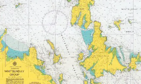
- Learn to interpret nautical chart features
- Understand chart reliability
- Identify charts symbols, dangers, soundings, lights etc
- Use nautical charts for plotting courses, dead reckoning (DR), estimated (EP) and confirmed (fixes) positions
- Learn how to plot Transits, measure distances and find directions
- Understand and use Speed, Time and Distance calculations
- Understand and apply Variation and Deviation to courses and bearings
- Be introduced to Radar and GPS for use in navigation
- Conduct a simulated passage
- Understand and apply tidal and current information and much more
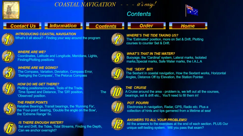
- Coordinates, Latitude, Longitude, Meridians, Lights, Finding and/or Plotting positions
- The Compass, Variation, Deviation, Compass Error, ‘Swing the Compass’ and Pelorus Compass
- Plotting positions and courses, converting true courses to compass courses
- Relative bearings, Transit bearings, The ‘Running Fix’, The ‘Four Point’ bearing, ‘Double the angle on the bow’, The Extreme Range fix
- Set and Drift, Tides, Tidal Streams, Find the Depth, Anchoring overnight<
- The Estimated Position (EP), more Set and Drift, Plotting course to counter Set and Drift
- Buoyage, The ‘Cardinal’ system, Lateral Marks, Isolated Dangers, Special Marks, Safe Water Marks, IALA Buoyage
- The Sextant, How the Sextant works, Horizontal angles, Distance off by Elevation
- Conduct a simulated passage applying courses, taking bearings and applying set and drift. This brings it all together.
- Electronics in Navigation including – GPS, Radar, Radio etc
Coastal Navigation
It's Easy AUS Version. Best value coastal navigation program on the web with Lifetime access. Our most popular program (over 850 programs sold) just $199.00

Coastal Navigation - Lifetime program access just $199.00
